










Laura Lin was on a Zoom call when she noticed pieces of her wood floor floating past her barn. Within hours, over 8 inches of rain had turned her quiet Indiana town into a disaster zone. By the time official alerts arrived, her family had already fled. This is exactly the gap a new flash flood warning system aims to close. This story follows Flash Flood Warning Tech.
Flash Flood Warning Tech: Why Flash Floods Outrun Our Warnings
Flash floods develop fast. The National Weather Service classifies any flood that hits within six hours as a flash flood, according to The Verge. That speed is the core problem.
Forecasters currently rely on rain gauges, stream sensors, and satellite radar. These tools work well over oceans and dense urban grids. However, rural and desert regions often lack enough sensors to catch a storm in time.
Ivory Small, a science officer with the NWS San Diego office, put it bluntly. Without better tools, a fast-moving storm “could kill some folks.” With them, forecasters can warn people before the water rises.
How the New Flash Flood Warning System Works
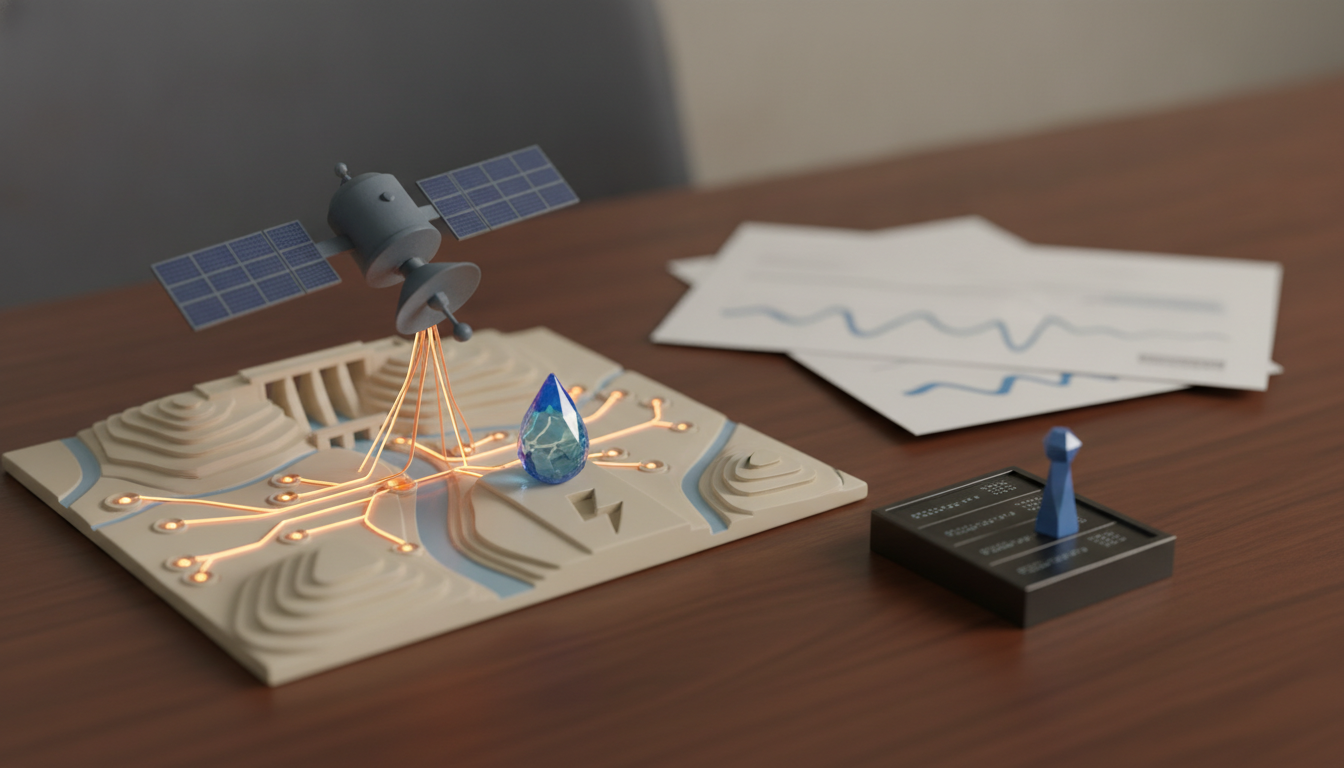
Scientists at UC San Diego, NASA, and the NWS built a tool called TACLS, short for the Transient Artifact and Continuous Learning System. It pairs satellite data with machine learning to spot flood risk earlier than traditional methods allow.
Here’s the clever part. TACLS repurposes GNSS satellites, the same network used to predict earthquakes. When more moisture sits in the atmosphere, signals between satellites and ground sensors slow down slightly. That delay reveals how much water vapor is building before a storm even breaks.
A UCSD graduate student, Bhavik Chandna, spent roughly a year training the system’s machine learning model. He used long short-term memory architecture, a method suited to patterns that evolve over time. The model learned from years of atmospheric river data, rainfall records, and past flash flood warnings.
Instead of just reacting to rain that has already started, this flash flood warning system tracks moisture before the storm fully forms. That gives forecasters real lead time instead of a scramble after the fact.
From California Testbed to Nationwide Rollout
TACLS currently covers only California. Still, the team behind it plans to expand access to all 122 NWS weather forecast offices across the country.
That matters because rural coverage gaps are exactly where this flash flood warning system could save the most lives. Laber, a senior hydrologist with the NWS, noted that even a dense gauge network “doesn’t cover every inch of the Earth.” Machine learning fills those blind spots by inferring risk instead of only measuring it directly.
The Infrastructure Powering Tools Like This
Systems like TACLS don’t run on wishful thinking. They run on GPUs, data pipelines, and increasingly specialized materials. This week’s news cycle shows just how much scaffolding sits behind every AI breakthrough.
Microsoft, for instance, open-sourced a platform called TauGrid on August 28. It bundles GPU scheduling, health monitoring, and orchestration into a single Kubernetes install, as detailed by MarkTechPost. Research teams building climate or weather models often struggle with exactly this kind of plumbing. Tools like TauGrid could let scientists spend less time managing servers and more time refining forecasts.
Meanwhile, MIT Technology Review examined a less flashy but equally important angle: materials science. As AI systems scale, chips and data centers need materials that survive extreme heat, pressure, and electrical loads. According to the outlet’s interview with a Syensqo executive, engineers now stack requirement after requirement onto these materials. Better polymers and coatings quietly decide what kind of AI hardware is even possible.
Smarter Models, Not Just Bigger Ones
Not every AI advance needs a data center’s worth of hardware. Prior Labs released TabPFN-3.5, a tabular foundation model trained entirely on synthetic data. It reportedly beat the winning solution from a 2015 Kaggle competition using default settings, per MarkTechPost.
That result matters for flood prediction too. Weather agencies often work with messy tabular data, things like sensor readings, soil types, and elevation grids. A model that performs well without heavy tuning could make it easier for smaller forecast offices to adopt machine learning tools.
Meanwhile, hobbyists and small research teams are experimenting with lighter setups. Open-source agent harnesses now let developers run capable models locally through tools like Ollama or llama.cpp. If you’re assembling a home lab for weather modeling or general AI tinkering, a solid GPU-equipped mini PC (paid link) can make local inference far more practical.
Flash Flood Warning Tech: What This Means for Communities at Risk
Let me walk you through why this all connects. A flash flood warning system like TACLS needs three things to work at scale: reliable infrastructure, efficient models, and materials that keep hardware running under stress.
Each story here represents a piece of that puzzle:
- TACLS shows how satellite data and machine learning can catch floods earlier
- TauGrid shows how research teams simplify the GPU infrastructure behind these models
- Materials science shows what physically limits how fast this technology can scale
- TabPFN-3.5 shows how smarter models reduce the need for massive compute
None of these stories individually solves flash flooding. Together, they sketch the pipeline that turns raw atmospheric data into a warning that reaches Laura Lin’s phone before the water reaches her yard.
Flash Flood Warning Tech: The Takeaway
Flash floods will keep striking fast and with little warning. However, the tools to predict them are catching up quickly.
Key points to remember:
- TACLS combines GNSS satellite signals with machine learning to detect flood risk earlier
- The system currently covers California but should expand nationwide
- Behind every forecasting breakthrough sits a stack of infrastructure, from GPUs to specialty materials
- Efficient models like TabPFN-3.5 suggest AI progress isn’t only about scale
The next time heavy rain rolls in, the gap between watching water rise and getting a warning could shrink dramatically. That’s a change worth watching closely.
As an Amazon Associate, TechMogo earns from qualifying purchases.